Mangrove forests vanishing at an alarming rate, satellite images show
Loading...
The true extent of the world's mangrove forests has been mapped for the first time ever with new satellite data. The picture revealed is an alarming one.
The new satellite images show that mangrove forests are far smaller than previously thought and that they are disappearing at a pace that outstrips other threatened ecosystems.
The map made from the satellite data shows that approximately 53,190 square miles (137,760 square kilometers) of mangroves exist on Earth's surface. That's about 12 percent lower than earlier estimates.
"This reveals that 75 percent of the forest is found in just 15 countries, out of which only about 6.9 percent is protected under the existing protected areas network," said study researcher Chandra Giri, of the U.S. Geological Survey.
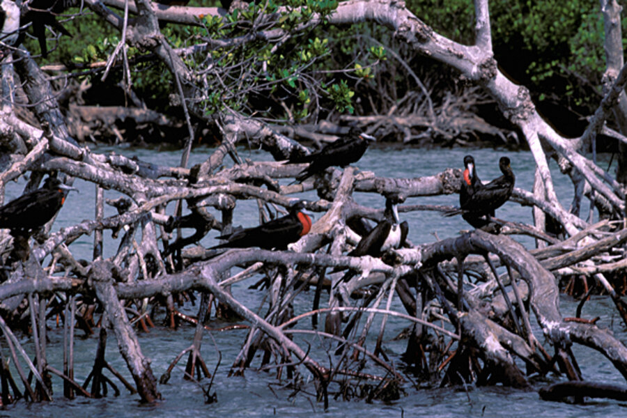
Mangrove forests grow in tropical and subtropical tidal zones, and they are among the most productive and biologically important ecosystems on the planet. The trees, palms and shrubs of these forests have adapted to the most severe environmental conditions, thriving in regions of high salinity (salt concentration), scorching temperatures and extreme tides along the equator.
However, human activity and frequent severe storms have taken their toll, resulting in a loss rate formangrove forests higher than the loss of inland tropical forests and coral reefs.
"The current estimate of mangrove forests of the world is less than half what it once was, and much of that is in a degraded condition," Giri said.
Using data from a NASA satellite, Giri and an international team analyzed more than 1,000 pictures of the Earth using digital image classification techniques. This enormous task allowed the team to slowly piece together the most accurate map of mangrove distribution to date.
The work reveals the world's remaining mangrove forests are spread across 118 countries and territories. Asia has 42 percent of the world's mangroves, 21 percent are in Africa, 15 percent are in North and Central America, 12 percent are in Oceania (a region that includes mostly islands in the Pacific Ocean), and 11 percent are in South America.
Giri warns that these forests are swiftly succumbing to threats both human and natural, and the effect of such losses could be dramatic.
"It is believed that 35 percent of mangrove forests were lost from 1980 to 2000," Giri said, "which has had an impact on the coastal communities that use mangrove forests as a protective barrier from natural disasters, such as hurricanes and tsunamis."
The research, carried out by scientists from the USGS and NASA, is published in the July 2010 issue of the journal Global Ecology and Biogeography.


