Smart phone technology boosts early warning for extreme weather, quakes
Loading...
Researchers have set up a prototype system of sensors in southern California that has the potential to significantly improve warnings or response times to severe weather, floods, tsunamis, and earthquakes.
The system builds on a dense network of GPS receivers in the western US, initially installed to track changes in stress along the region's earthquake faults. By adding inexpensive temperature, air-pressure, and motion sensors common in today's smart phones, researchers have found that the system can arm forecasters and emergency managers with important information earlier and more frequently than existing techniques.
These same sensors can be installed in buildings, bridges, and other critical pieces of infrastructure to quickly help assess damage after a large earthquake, notes the team, led by Yehuda Bock, a researcher at the Scripps Institution of Oceanography in La Jolla, Calif.
The system was first used for flood forecasts and flash-flood warnings during an intense storm that hit southern California in mid-July that brought heavy rains and flash floods to the southland. The researchers also ran an experiment to see how quickly and accurately their approach could interpret GPS data from the magnitude 9 earthquake and the tsunami that struck Japan's east coast in 2011.
The results show that the prototype “is faster, more accurate, more reliable, and more versatile” than current tools, said Dr. Bock, during a briefing on the system Tuesday at a meeting of the American Geophysical Union in San Francisco.
CalTrans, the state agency responsible for maintaining highways, bridges, and rail systems, has installed the sensors on the Vincent Thomas Bridge linking San Pedro to Terminal Island in Los Angeles Harbor to track the effects of wind, traffic, and earthquake activity on the structure.
The University of California at San Diego's medical center has tapped into the network, as well. The aim is to provide enough advance notice of a large earthquake to allow the center to shut down elevators and alert surgeons performing operations that shaking is imminent.
Of all the potential uses for GPS, weather forecasting may seem unusual. But the satellite-navigation system uses precise timing of radio signals from a constellation of satellites to determine location. The amount of time the signals take to reach receivers on the ground is affected by the amount of water vapor in the atmosphere. By adding information from temperature and pressure sensors to this timing data, researchers can estimate the amount of water in the air available for precipitation.
Satellites can provide this information over the oceans. But they can't provide the data over land, noted Mark Jackson, the meteorologist in charge of the National Weather Service forecast office in Oxnard, Calif.
Weather balloons can help. But they are launched only twice a day on average and from widely spaced locations. Even with weather radar, forecasters don't get as much information on conditions at specific locations as they'd like. That changed with the team's augmentation of GPS stations in the region.
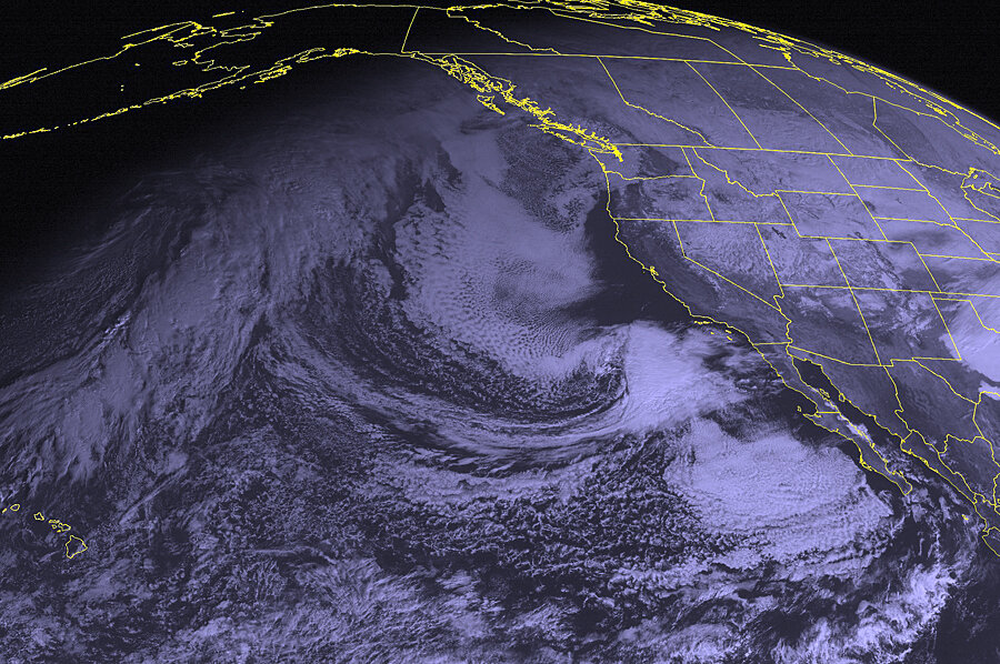
In July, a river of moist air moved into the region, bringing heavy rains and flash floods. The additional information from GPS receivers, augmented with the temperature and pressure sensors, yielded continuous information on changing moisture levels in the atmosphere at more than 100 locations in the southland. This allowed forecasters to track patches of particularly moist air across the region, leading to timely flash-flood warnings that had a tighter geographic focus than previous warnings achieved, noted Angelyn Moore, a researcher at NASA's Jet Propulsion Laboratory in Pasadena, Calif.
While the use of GPS for water-vapor measurements isn't new, she says, the density of measuring stations capable of tracking changes in water vapor concentrations over space and virtually in real time is a new capability.
In June, a team that included Bock published the results of an experiment that tested the ability of data from GPS receivers and motion sensors to provide rapid analysis of major earthquakes. The work was based on a replay of data gathered from 138 locations in the affected region during the 2011 Tohoku quake and tsunami in Japan.
Typically, researchers have used information from seismographs to determine a quake's magnitude. But that approach can take time, because data from seismographs at different locations must be used to pinpoint a quake's magnitude and location.
Bock noted that initially the quake was estimated to be a magnitude 7 temblor, based on measurements analyzed within the first 30 seconds after the quake occurred. Within nine minutes, seismologists raised the estimate to 7.9. But it took more than two hours to arrive at a magnitude estimate of 8.9, close to the final figure of 9.0.
Using shaking data from the motion sensors and changes in location and height from the GPS receivers, it took the team three minutes to derive the quake's magnitude. The results were published in the journal Geophysical Review Letters.
Changes in height recorded by a GPS station close to the coast showed a drop of about 18 inches, reflecting the change in the sea floor that triggered the tsunami. The data revealed the drop some 30 minutes before the tsunami arrived – data that could quickly be fed into tsunami inundation models to forecast the impact the tsunami could have. Japan's buoy system for tsunami warnings gave coastal residents about 15 minutes' warning.
Bock notes that the system also can detect the fast-moving component of seismic waves that travel through Earth's crust during an earthquake. These can be used to predict the arrival of the slower-moving waves responsible for the most intense shaking. For a large earthquake on the southern San Andreas Fault, for instance, the system could yield from 1 to 2 minutes' warning in advance of the worst shaking, depending on the distance to the quake's epicenter. This would be enough time to duck under a sturdy table, clear and shut down elevators, or move fire trucks or ambulances out of fire stations.
Using the system on structures, emergency managers can get a quick sense of where the heaviest damage and tilting to large buildings is occurring, Bock explained.


