Why Mexico earthquake, stronger than Haiti's, did much less damage
Loading...
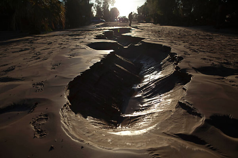
The magnitude 7.2 Mexico earthquake centered in northern Baja California inflicted widespread damage in the border towns of Calexico, Calif., and Mexicali, Mexico, Easter Sunday afternoon local time.
But the initial damage reports – and two known fatalities at this writing – paled before those that emerged from Haiti in February during a modestly weaker quake.
Seismologists credit two broad factors for the difference: better quake-resistant building standards north and south of the border, and the characteristics of Sunday's temblor.
IN PICTURES: Mexicali earthquake
"California building codes are very rigorous," developed and refined after years of experience with earthquakes and experiments in the lab, where buildings up to seven stories tall can be placed on huge shaking tables and given a simulated geophysical once-over, observes Debi Kilb, a seismologist at the Scripps Institution of Oceanography in La Jolla, Calif.
But, she adds, neither town was "smack dab on top of the fault," as was the case in Port-au-Prince.
The quake that struck the region, which was felt in Los Angeles and as far away as Phoenix and Las Vegas, released roughly twice the energy of Haiti's 7.0 quake.
The region has a history of strong quakes.
The suspected fault in Sunday's quake, the Laguna Salada Fault, is part of an array of roughly north-south faults associated with the boundary between the Pacific and North American Plates. That orientation appears to have directed much of the energy released during Sunday's quake away from the Calexico-Mexicali area northeast of the fault.
The two vast patches of Earth's crust are grinding against each other along their boundary. The most infamous of the faults along this boundary is California's San Andreas Fault, which runs nearly the entire length of the state.
The plates both are moving generally northwest, but the Pacific Plate is moving faster. This gives it a relative speed advantage of nearly 2 inches a year over its continental counterpart in the region where Sunday's quake took place, according to the US Geological Survey.
Northern Baja California is no stranger to strong earthquakes. A different segment of the same fault ruptured in a major quake in 1892. Other faults in the area triggered magnitude 7-class quakes in 1915 and 1936. In 1940, the Imperial Fault, just north of the border, shook the Imperial Valley with a magnitude 6.9 quake.
At first blush, the depth at which Haiti's and Baja California's big ones took place might seem to account for some of the difference. In Haiti, the rupture along the Enriquillo-Plantain Garden Fault occurred some 8 miles below the surface, compared with a 6.2-mile depth for Baja's quake.
But Dr. Kilb notes that with earthquakes as strong as these two were, any difference in depth makes doesn't much affect the shaking that people experience at the surface.
Perhaps more telling, she suggests, are the distances from the two epicenters. Port-au-Prince was 15 miles from the epicenter of February's quake and was in the region of strongest shaking. Mexicali, with a population roughly half that of prequake Port-au-Prince, lies some 38 miles from the epicenter of Sunday's quake.
For seismologists, the task now is to monitor aftershocks and determine the extent to which this quake has altered stress patterns on other faults in the region, including the southern San Andreas Fault and the San Jacinto Fault Zone to its west. For all the attention the San Andreas receives, southern California's San Jacinto Fault Zone is the most active in southern California, according to USGS researchers Douglas Morton and Jonathan Matti.


